Port of Gladstone Land Use Plan 2024
Consultation on the 2024 Port of Gladstone Draft Land Use Plan has closed. Thank you to everyone who provided feedback. To keep up to date on the Plan development, visit the EngageGPC platform.
Port Land Use Plans
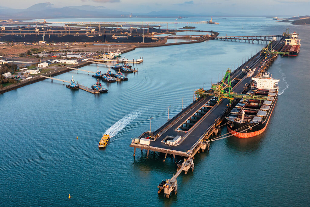
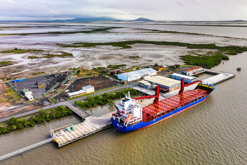
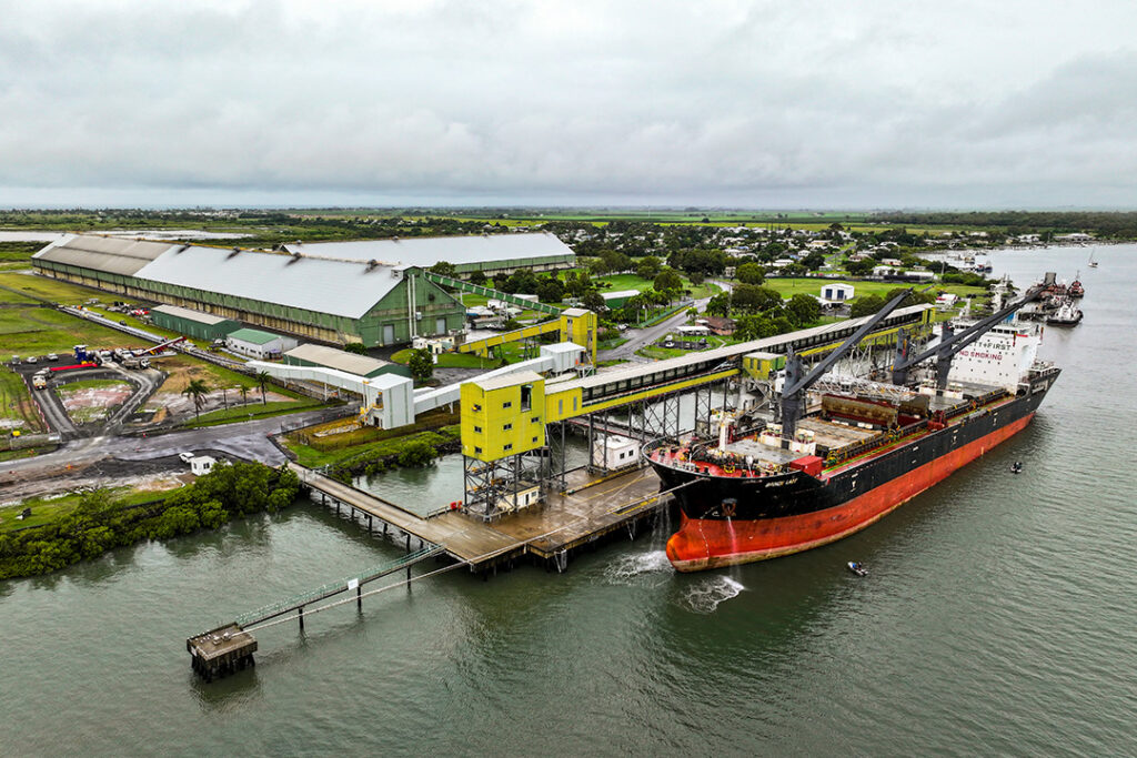
GPC has Land Use Plans (LUPs) for its strategic and operational port lands at the Port of Gladstone, Port of Rockhampton (Port Alma Shipping Terminal) and Port of Bundaberg.
The current plans are:
To replace the 2012 Plan, there are stand-alone LUPs for the Port of Gladstone and Port of Rockhampton in development. To keep up to date on the LUPs’ development, visit the EngageGPC platform.
The LUPs are developed in accordance with the Transport Infrastructure Act 1994, which includes approval by the Minister of Transport and Main Roads. LUPs identify strategic port land to be used for port and port-associated development and provides the framework for GPC to assess development on port land. The LUPs also list any land proposed to become strategic port land, and the current and proposed uses and intent for the land.
All new development on strategic port land must comply with the requirements of the LUP, and associated development codes for code assessable development. GPC is the regulator of this development assessment under the provisions of the Planning Act 2016.
A new LUP is developed every eight years and provides an opportunity for the community to review and comment on how development on strategic port land is regulated and managed. Under the Transport Infrastructure Act 1994, GPC is required to prepare and release a Statement of Proposal when making or amending LUPs, prior to developing the draft LUP for public consultation.
Master plan for the priority port of Gladstone
Port master planning facilitates sustainable development of priority ports in Queensland (such as the Port of Gladstone), in balancing long-term economic growth, job creation, environmental values and community interests, while providing protection for the Great Barrier Reef. This process is undertaken by the Queensland Government (Department of Transport and Main Roads).
Master planning for the Port of Gladstone is part of the Reef 2050 Long-Term Sustainability Plan (Reef 2050 Plan) and mandated under the Sustainable Ports Development Act 2015 (Ports Act).
The Port overlay is the regulatory instrument that implements the Master Plan under the Ports Act.
Some development within the Priority Port of Gladstone is regulated by the Port overlay for the Priority Port of Gladstone, in addition to GPC’s Land use plans (as shown in section 6 of the Port overlay). GPC is the regulator of this development assessment under the provisions of the Planning Act 2016.
State Development Area development schemes
State Development Areas (SDAs) are areas that have been designated by the Queensland Government under the State Development and Public Works Organisation Act 1971. There is a SDA at or adjacent to, both the Port of Gladstone and the Port of Bundaberg.
Development in SDAs is regulated by the Queensland Government in accordance with SDA development schemes.
Where strategic port land is located within an SDA, new development is regulated under the relevant SDA development scheme. However, any aspect of development on strategic port land that is not assessable under the SDA development scheme is assessable under the relevant GPC LUP and will still require development approval from GPC.
Key Documents and Quick links
Key Documents
- GPC Development Code 2012
- GPC Land Use Plan 2012 v2 – Port of Gladstone and Rockhampton
- Port of Bundaberg Land Use Plan 2020
- Reef 2050 Long-Term Sustainability Plan
- Sustainable Ports Development Act 2015(Ports Act).
- Master plan for the Priority Port of Gladstone
- Port Overlay for the Priority Port of Gladstone
- Gladstone SDA development scheme
- Bundaberg SDA development scheme
- Wide Bay Burnett Regional Plan
- Central and Western Queensland Infrastructure Plan
- Development Assessment Rules
GPC Quicklinks


